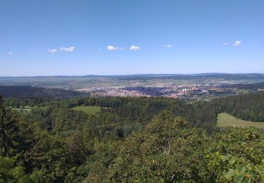
8,3 km | 10,6 km-effort
les fours-chapelle des bois
woper
Utilisateur
Longueur
59 km
Altitude max
1184 m
Dénivelé positif
1192 m
Km-Effort
76 km
Altitude min
910 m
Dénivelé négatif
1283 m
Boucle
Non
Date de création :
2016-08-29 00:00:00.0
Dernière modification :
2016-08-29 00:00:00.0
7h42
Difficulté : Difficile
Application GPS de randonnée GRATUITE
À propos
Randonnée V.T.T. de 59 km à découvrir à Bourgogne-Franche-Comté, Doubs, Les Fourgs. Cette randonnée est proposée par woper.
Description
J4 GTJ 2016 Quatrième journée sur la GTJ
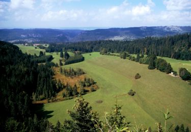
Localisation
Pays :
France
Région :
Bourgogne-Franche-Comté
Département/Province :
Doubs
Commune :
Les Fourgs
Localité :
Unknown
Départ:(Dec)
Départ:(UTM)
303951 ; 5191927 (32T) N.
Commentaires
Randonnées à proximité
Le Stratégique - Doubs
Marche
Moyen
(1)
Les Fourgs,
Bourgogne-Franche-Comté,
Doubs,
France
2h 45min
Oui
La Côte-aux-Fées - Buttes
A pied
Facile
La Côte-aux-Fées,
Neuchâtel,
Inconnu,
Suisse
6,7 km | 8,5 km-effort
1h 55min
Non
La Gittaz-Col de l'Aigullon
A pied
Facile
Sainte-Croix,
Vaud,
District du Jura-Nord vaudois,
Suisse
4,1 km | 6,4 km-effort
1h 26min
Non
Belvedere de la roche Sarrasine
Marche
Difficile
(1)
Les Fourgs,
Bourgogne-Franche-Comté,
Doubs,
France
12,4 km | 17 km-effort
3h 51min
Oui
Piste du Voirnon
Ski de fond
Facile
Les Fourgs,
Bourgogne-Franche-Comté,
Doubs,
France
11,8 km | 15,2 km-effort
3h 39min
Oui
Le Sentier des Bornes
A pied
Facile
Les Fourgs,
Bourgogne-Franche-Comté,
Doubs,
France
6,4 km | 8 km-effort
1h 48min
Non
le grand taureau, la Cluse et Mijoux
Marche
Moyen
La Cluse-et-Mijoux,
Bourgogne-Franche-Comté,
Doubs,
France
24 km | 34 km-effort
5h 26min
Oui
le grand taureau, Pontarlier
Marche
Difficile
Pontarlier,
Bourgogne-Franche-Comté,
Doubs,
France
20 km | 29 km-effort
3h 36min
Oui
Le Grand Taureau 19.3 km D+661 m 20240512
Marche
Très difficile
Pontarlier,
Bourgogne-Franche-Comté,
Doubs,
France
19,3 km | 28 km-effort
5h 5min
Oui